

We got up Monday morning, July 16 and headed out of Whitefish, MT headed for points east on HWY 2. We knew this route was a two lane road and around the boundary south of the park. And of course the first 60 miles or so would be hilly at best. That's ok because we are seldom in a hurry. And as a result, not much distance was covered today. So we drove to a little prarie town along the BNSF Railroad, Shelby, MT. This was a small store (the only store in town) and we were quite surprised when the manager invited us to spend the night in his small parking lot.

We didn't patronize his store as the prices were very high. We did get a box of Ritz wheat crackers to make it look good. We'll wait for Walmart down the road for our groceries. Oh, the railroad: It was noisy, as we expected, especially being only 100 yards away, but the big derailment just east of Glasgow about 30 miles east, traffic came to a halt around midnight. So we slept well.

We got up Tuesday morning and headed out on the prarie and on down the two-lane HWY 2. We chose this route before we ever left Whitefish, hoping to see a little more than going down a freeway. We were right of course. But really, how much of the prarie grasslands can one take in? After a while, it pretty much all runs together, wheat, rye, flax, oats, and every other grain one can think of. And grain elevators and rail transport cars, countless. Truly, this is the bread basket of the world, literally!


We drove on till we came to a small town (Chinook) that displayed a sign to this historic landmark. I have been reading several books on our Native American pre-forefathers while traveling the past several weeks. I am wanting to know more & more of their plights and culture. And of course in this part of the country, one of the tribes is the Nez Perce. Of couse we diverted to this place for a brief interlude. We disconnected the Jeep as the road down to the battlefield was being tarred and graveled, and we didn't want tar all over the big wheels.


The site is about 20 miles south of town on a small road, and is right in the middle of the Montana grasslands. There was a 1.5 mile interpretive-storyboards walk, so we did it, in spite of the blazing sun and near 90 degrees. Instead of going into the walk, I'll the info boards tell the story.


Harrier Hawks were nesting in the bush on both sides of this bridge, so we were encouraged to hurry on across. We didn't see any, thankfully, as they can be quite defensive of their nesting areas.


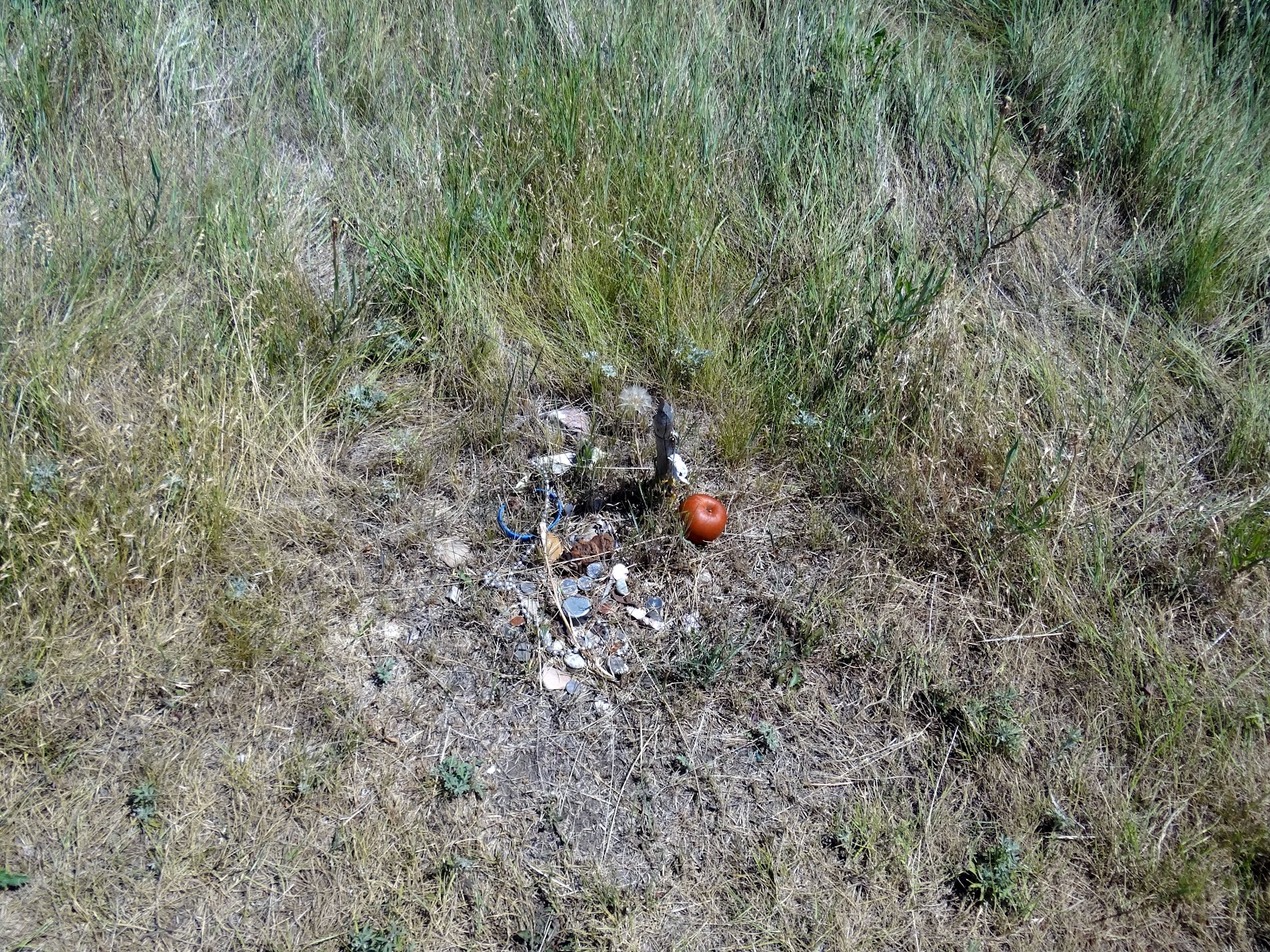
Thr trail guide explained the alignment of both the Nez Perce and the US troops. Along the early part of the trail, down in the coulee, there were small stell markers that the NPS had planted, that showed where each lodge (teepee) was located and what chief or family occupied it during the battle. And most of them had items of interest that had been offered as a memory to them, andwe were told that they were sacred to the those who had left them. I assume that they were descendants of the families.


While walking thru this battlefield, which has been transformed into a soloemn, sacred place to many, gave me a sad feeling once again of the struggles so many Native Americans endured during a dark time of our history. I paused a couple of times while walking, and the stiff wind was telling me something. While reading each story plaque, visions of the children, women, elderly and suffering of the wounded warriors as well as the many soldiers who were strewn about the fields, were being flashed in my head. Using my imagination, the wind was telling me that the spirits of the that time, here at this place, did not want us to tary as it belonged to them.


The coulee above provided relief from the wind and elements for the camp of the Nez Perce. After so many miles of marching away from the troops, this place afforded some relief for much needed rest for the weak and elderly.


Behind this stone is the indented furrow of land where the soldiers were buried.


Many of the lodge locations, as well as the rifle pit where Chief White Bird, Chief Looking Glass and Chief Ollokut, (Chief Joseph's brother) were killed, were decorated with offerings like this.


Above is the memorial plaque where Chief Joseph surrenered his rifle to General Howard, and below is an artist's rendering of the event, in the Chinook Museum.

Well, that's about all we gathered for this blog. It truly is rewarding to research the many writings of the accounts of the plights & struggles of the Native Americans who called this part of the world, home, for so many generations. So, till the next time, Nancy & Joe, the RVing Beach Bums rolling on down the highway.
No comments:
Post a Comment