

From Wiki:The San Juan Islands are an archipelago in the northwest corner of the contiguous United States between the US mainland and Vancouver Island, British Columbia, Canada. The San Juan Islands are part of the U.S. state of Washington. In the archipelago, four islands are accessible by passenger ferry operated by the Washington State Ferries system.[1]

The United States Geological Survey (USGS) defines the San Juan Islands as the archipelago north of the Strait of Juan de Fuca, west of Rosario Strait, east of Haro Strait, and south of Boundary Pass.[2] To the north lie the open waters of the Strait of Georgia. All these waters are within the Salish Sea. The USGS definition of the San Juan archipelago coincides with San Juan County. Islands not in San Juan County are not part of the San Juan Islands, according to the USGS.

Our ferry looked just like this one, and it was named Elwha. We saw on the news one night several weeks later that it was laid up in dry dock for emergency repairs for about four months. These ferries are huge.


It took about an hour to get to Friday Harbor on San Juan Island from the port of Anacortes on the northwest corner of Whidbey Island.


It was a little hazy from a wildfire in Olympia National Park. I was caught snapping off a few shots of the surrounding islands.


We decided to just take our time and drive around the entire island, and have lunch back in Friday Harbor later in the afternoon. This was a day trip (June 30, 2015) as we boarded the ferry about 6:30 and re-boarded for the trip back around 7:30.


Way up there was this huge house, but never saw a driveway up there. The morning aie was refreshingly cool and very little breeze.


We did hiking, but had to take it easy as Nancy's knee was not 100%.


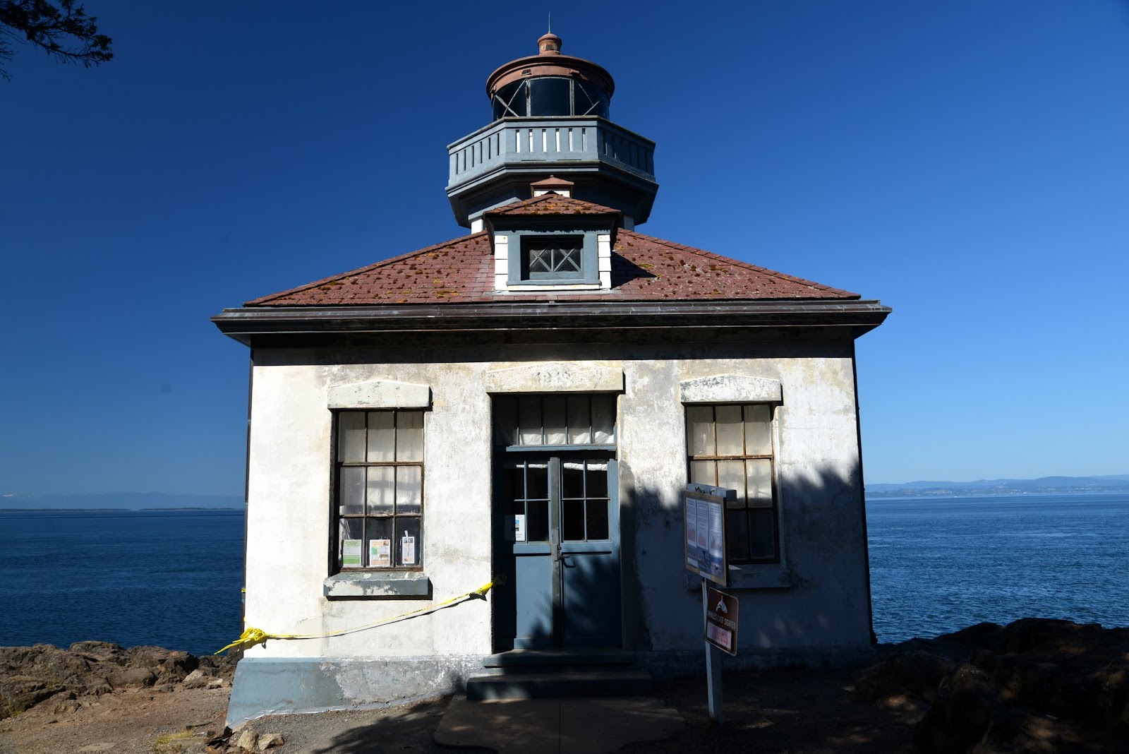
The above trail was within the Lime Kiln Point State Park and it looped down to the water by an old lighthouse. The lighthouse was currently being used by a research team counting Orcas for the summer.


Above, sightings of whales for the month of June on the white board, including which pod (of two, one local and one migratory) and what direction they were headed, to the sound or to the ocean.

The research team posed for a photo op. We asked a few questions and they were more than willing to answer and offer explanations as to what their research involved.


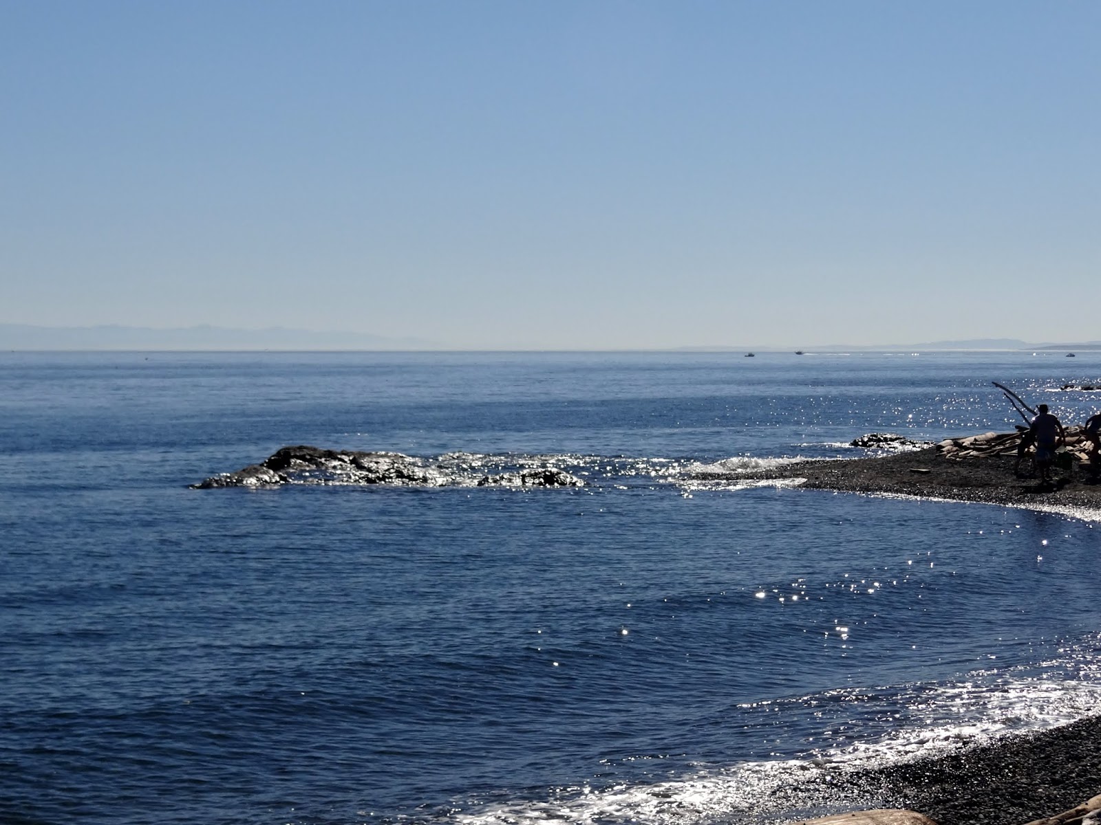
The island was just so relaxing and awesome to view the beauty.

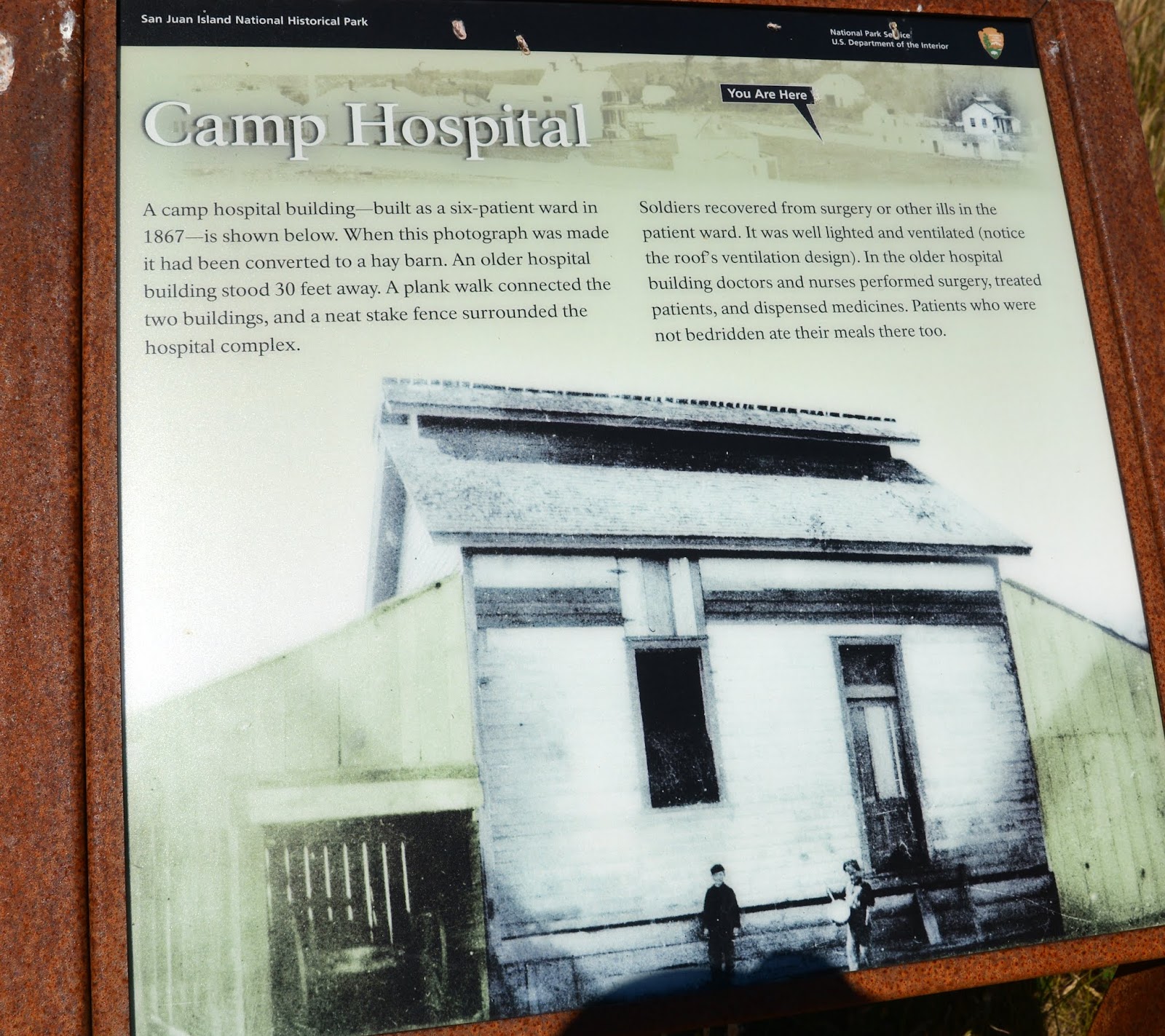
We happened upon this neat little piece of history, and quite frankly was something we'd never heard of before this day.


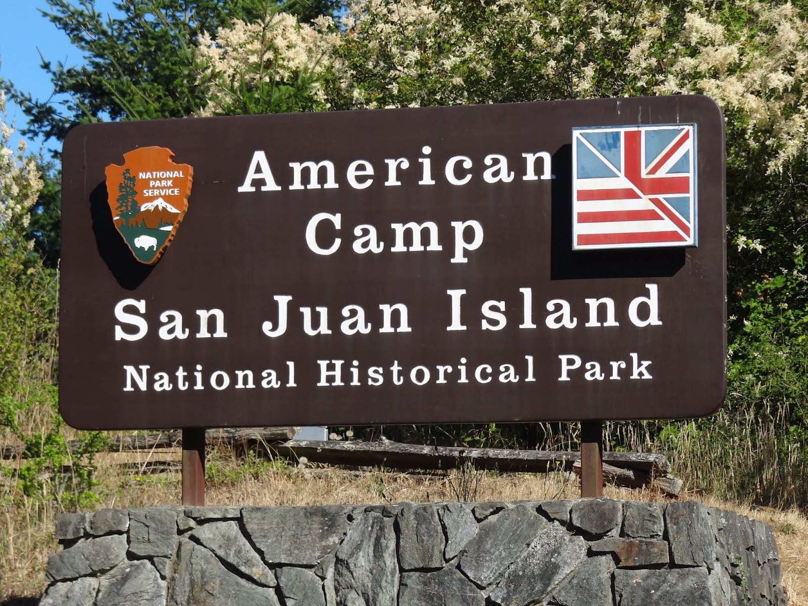
These a few pics of pics from inside the museum at English Camp. On the other side of the island, not too far from Friday Harbor, was where the American Camp was located.


English Camp pics...


Above, the English Camp Harbor...out and to the right through the channel about 50 miles is Vancouver, home of the forward deployed British Fleet.


Look at how big this tree was.


Had to get shot of this young lady laying under the tall Oak tree. The flies were eating her up though.


The below shell of a building was part of the structures in the above description.


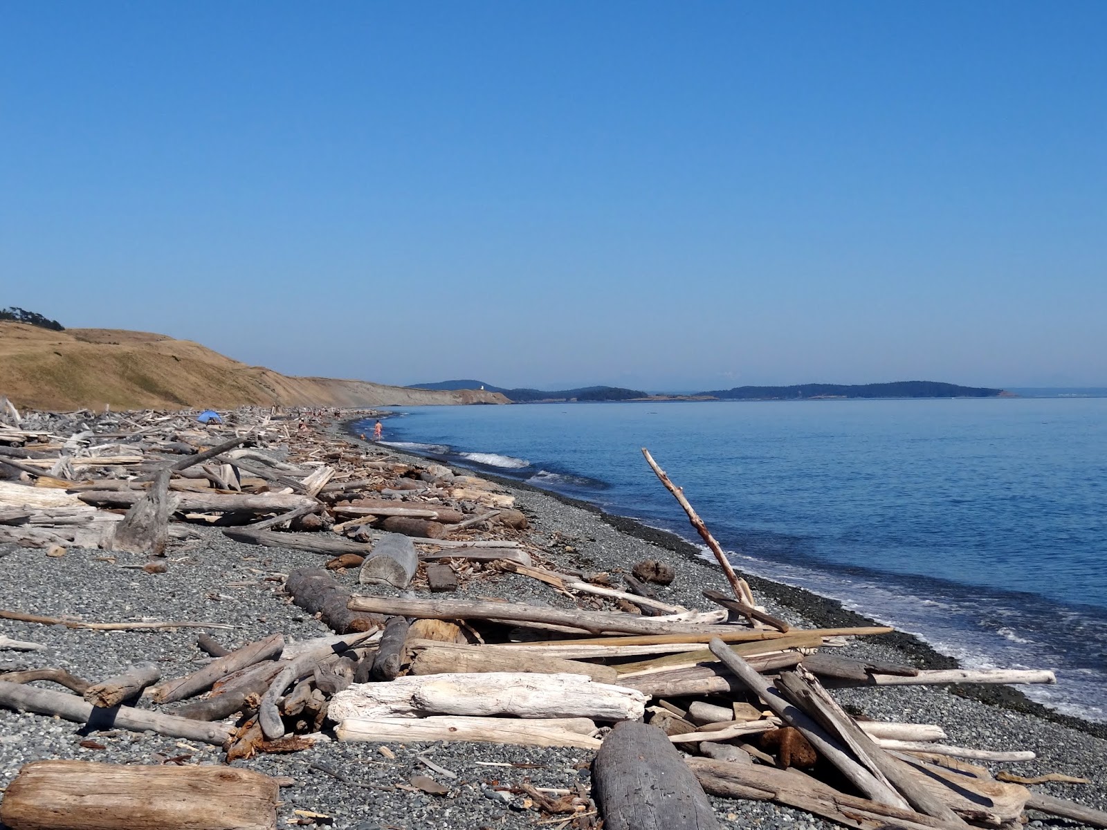
These pics were just east of the American Camp.


On the beach at American Camp...


HQ


HQ looking west from near the redoubt...

Above, leaving Friday Harbor back to Anacortes...


Waiting to board the ferry back to Anacortes and Whidbey Island NAS where we were camped. We had lunch here.

Well, thats a wrap on this blog. So, until the next blog, RVing Beach Bums signing off. This blog was written in Coburg, OR on Aug 23, 2015.