Before I get into our visit to Sleeping Bear Dunes, I want to share a few pics from where we camped: Keith J. Charters State Park in Traverse City, MI. From the DNR website: Traverse City State Park is a completely developed, 47 acre, urban park that features a quarter mile of beautiful beach on the East Arm of the Grand Traverse Bay. The Park has 343 sites in a completely wooded mix of hard and soft wood trees, a short drive to all major attractions in the area like Sleeping Bear Dunes, casinos, The Grand Traverse Resort and numerous outstanding golf courses.

At the campsite reading the local newspaper. Now, this campground is really nice. It has it's own beach, right across the road on Great Traverse Bay. OK, where is this place? TC is situated in north eastern MI, and right across Lake Michigan from Green Bay, WI.
I did a little metal detecting in hopes of finding lost rings/diamonds, which does occur sometimes. Wound up finding thirty cents instead and a few nails and bottle caps.
Down the beach looking east...
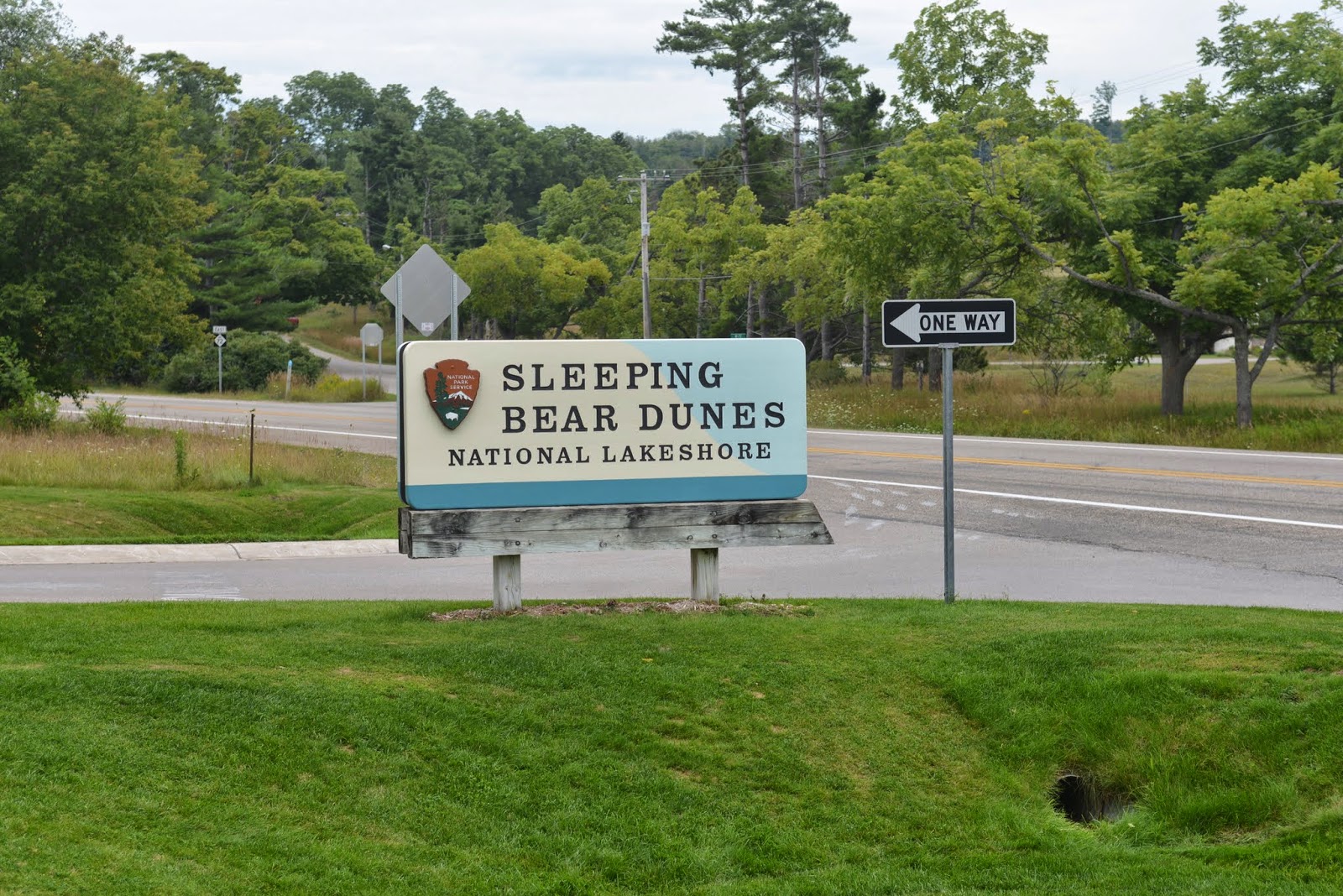
OK, now for the pics on Sleeping Bear Dunes and the story behind the name...
This National Treasure is so large that it is difficult to frame any one pic that grasps the real magnitude of it's beauty. From their own website: With over public 100,000 votes, Sleeping Bear Dunes National Lakeshore was named the "Most Beautiful Place in America" on ABC's Good Morning America. Watch as the winner was announced live on television in, "Most Beautiful Place in America Revealed.
These dunes are huge and soft, and hard to walk on.
This walkway stretches out about 150' over the shoreline and vertically about 200' above the shoreline. Below, the two kids are way down there, but not yet to the shoreline. There are warning signs that tell visitors of the struggle most people have on the return walk back to the top. My lens is on telephoto as well, and they are still small in the pic.
Needless to say, we did NOT venture down for any rock hawking.
Below, you can see a father son just to the right of the person in red in the dark color sand...well, we were told that those two folks had been walking back up for about one hour, and had not made it yet to top. It's like it takes three steps to progress one because the sand is so soft.
Even though it was a rather overcast day, the panorama was just gorgeous. There is so much diversity of scenery along the lakeshore.
We could have stayed on the Dunes longer, but we read the brochure and wanted to see a couple areas before the day ended, so off we went.
A few miles up the shoreline was this USLSS Museum and we found it rather interesting, and the volunteers there made it so. It's hard to imagine how they really performed such tasks, but the videos and story boards did a good job expelling and graphically representing the procedures and devices used to save people in peril at sea, er, at lake?
These wheeled devices actually were rolled down steel tracks close to the shore, then would be placed and utilized in accordance with there practiced routines. Below, an old relic of a cork lined life vest.
Below, a volunteer perhaps?...testing the efficiency of device & man??
In this little lakeshore port town was once a very large and prosperous lumber operation.
Eventually, the USLSS evolved into the responsibility of the US Coast Guard.
Above is the old HQ and living quarters of the CG crew.
And the preservation of the site has been good despite the uncertain weather of this location. We read where the November storms here rival anything the Northeast has experienced.
Above, yours truly admiring the view, of Miss Nancy! :-)
Above, the familiar architecture and the SBDNL Visitor's Center. Well, that about wraps up our visit to this little known, at least to us Southerners, beautiful off the beaten path National Treasure. And "Good Morning America" staff gives it the top-of-the-thumbs-up ladder as well. This trip was taken on August 25. So, till the next blog, RVing Beach Bums Signing off, published from Great Falls, VA, Oct 5.


No comments:
Post a Comment