We signed up to go on a bear hike with a ranger providing the way thru the woods. It was a rather short hike, but informative as the young college student working part time did a commendable effort in explaining the ways of the local carnivore's activities in the Porkies.
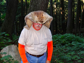
Above, my turn to hold the bear fur and below the jaw of a bear. We were taken to an actual hibernating place of one of the local bears, which we were told had been used off and on for several years by different bears. We were also told that they don't spend every winter at the same place, rather they move around.
Just off the trail was this dug out under a live tree. It had been used for several years, but not the past year. When the snow falls, it literally makes this a cave, and insulates the occupants from the harsh wind-driven cold temperatures.
It was large enough for two adults to get into, so a mother bear & cub would have no problem getting snugly in here.
Some bad actors above...don't eat them!
Momma Bear! :-)
OK, enough of the Momma Bear stories..
Coyote & wolf fur...note the lush forest...The ranger told us that this area was a favorite hunting area for one of two wolf packs within the park.
My fur wraps are so becoming to me...:-)
I look better in wolf than beaver...:-)
Miss Nancy did some clicking this day...Too bad her subjects couldn't have been better.
OK, that wraps up the bear hike and the wolf hike...on to some mine hikes...
From Wiki: The Nonesuch Mine is an abandoned copper mine and small ghost town in the southeast corner of the Porcupine Mountains State Park in Carp Lake Township, Ontonagon County, near Silver City, Michigan, United States. The area was given its name soon after Ed Less discovered the Nonesuch vein of copper on the Little Iron River in 1865. The name refers to the occurrence of the copper in sandstone: "nonesuch" ore existed elsewhere in the Copper Country.
This was a fun (but a little wet on the trail) hike to the old mine long abandoned on the Carp River.
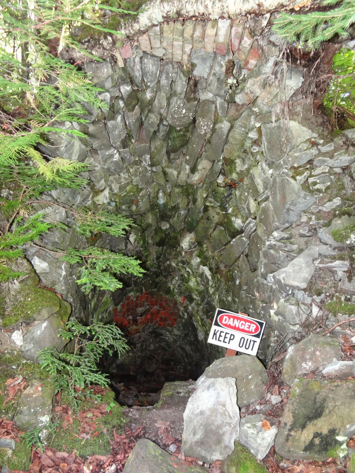
We enjoy the history of the folks who lived, worked and raised families back in the 19th and early 20th centuries. What hard work they endured...Here are a few of the remnant of structures and foundations still existing, which owes to the construction design of the times.
Above an old smelting furnace I believe...
Next day found us hiking around and thru the adits of the Union Mine, a short distant from the visitor center (1 mile). We had us another dandy day for hiking and we took advantage of it.
The trail, which was well marked, was rather long, about three miles and it was a loop. The loop trail crossed over the paved road twice. Part of the trail is on this road, and the little story boards keeps you informed as to what happened here and there.
It took me about three big pushes with my New Balances, but I did manage to get to stay upright long enough for Nancy to take a pic.
Above, part of the Nonesuch Road...Below, a few more interpretive signs...
The river runs right thru the middle of the mine and provides a needed resource in the production of ore ready for shipping out to Detroit and other smelters along the Great Lakes.
Got my walking stick, AKA my bear equalizer...:-)
On the way back to the campground, we stopped along a little beach/day use picnic table and helped ourselves to a little skinny-dipping...NOT...the water is too cold. So we didn't!
Well, I didn't, but Miss Nancy:? That's a whole 'nether story! She did dip her toes in for about one third of a second. Wimp! We had us a gorgeous day to be out and about and had us another anti-sedentary time of it.
On the last leg of the Union Mine hike, we ran into this little cabin in the woods. It was built and maintained by friends of the park and is used primarily for teachers and artists doing scholarly things to promote their work and science.
Above, trap rock...
These little informative plaques really told the story of the mine and the people who worked it and lived it. Awe, Miss Nancy posing all so cutely...between two young oaks...
Below I think was a canal for water diversion into the wheel.
I couldn't stop Miss Nancy! She was on a roll today. And in her cute little pink crocs...how becoming is that?
Above, another part of the old Nonesuch Road...and below, well darned if it ain't Miss Nancy again! That's OK, as my subjects are much more interesting than hers! :-)
This was a pretty long trail. It took us over three hours to walk it. Loved every step of it...
Above, a large pit dug to extract copper ore from...Below, all along these rivers and streams and the rock sides, are these green minerals (copper) embedded within the layers of sandstone.
Above, one of the Union Mine Trail markers.
Well, that pretty much wraps part 2 of our visit to the Porkies. Our next blog (part 3) on the Porkies will be about the rivers and falls of Presque Isle. So stay tuned, and we'll be right back, well, in a little while perhaps. Till then, Joe & Nancy, the RVing Beach Bums signing off. This blog was written and published from our Beach Bum home in Virginia Beach.


